GIS
All map count
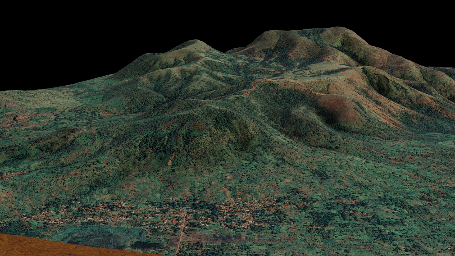
Petabytes of geographic and spatial data are being captured every day, but how to store, retrieve, manage, display and analyse this mind-dazzling quantity? A Geographic Information System (GIS) is the technology for making better decisions about location and the solution to capture, manipulate and present all types of geospatial data.
A GIS thus provides its users with geolocated data representing objects in our environment in the form of points, lines and polygons by associating numerous elements of description and characteristics.
For our communities, the interest is, on the one hand, to allow the preparation of heritage inventories (drinking water networks, public lighting, hiking trails, etc.), but also to secure and centralize information. In addition, the GIS makes it possible to consult computer plans and especially to cross-reference information on spatial or alphanumeric criteria.
The GIS thus makes it possible to answer the following questions: Where? When? How? ‘Or’ What ? Why ? From whom, from what?
However, the most interesting use of such a system remains the capacity for spatial analysis in a prospective approach. It is above all for this reason that Geographic Information Systems have become a reference tool for communities which must now manage and plan the development of a territory.

